Κυριακή 11 Αυγούστου 2013

Webinar: Multi-Language Discovery of Big Data for Mission Success

 
Security threats and incidents can arise in an instant, and the availability of real time on-the-ground intelligence can mean the difference between life and death. In addition to leveraging traditional classified intelligence sources, responders and analysts often turn to Open Source Intelligence (OSINT) gleaned from news feeds, blogs and social media to help predict where an incident may occur, understand what’s happening on the ground and manage and mitigate repercussions.

However, as the Web contains countless sources of information in myriad languages, analysts and decision-makers rarely have the time or resources for manual translation processes. How can users sift through the Web’s vast, multi-language repository of open-source content to locate the intelligence that is most relevant to the mission at hand? A qualified Human Translator can translate up to 2500 words per day. Statistical Machine Translation (SMT) language engines can translate up to 2500 words per minute, per CPU.

Πέμπτη 8 Αυγούστου 2013

WEBINAR: KML 101 – How to Create Amazing Maps in Google Earth and Maps

Overview

Find out how to transform virtually any data into KML – regardless of format or structure – using FME. You'll see how to easily create and style balloons, customize icons and colours, as well as intelligently organize placemarks – all using repeatable processes that let you create amazing displays in Google Maps and Earth. Plus discover how to share real-time data by using FME with HTML5 WebSockets.

Παρασκευή 2 Αυγούστου 2013

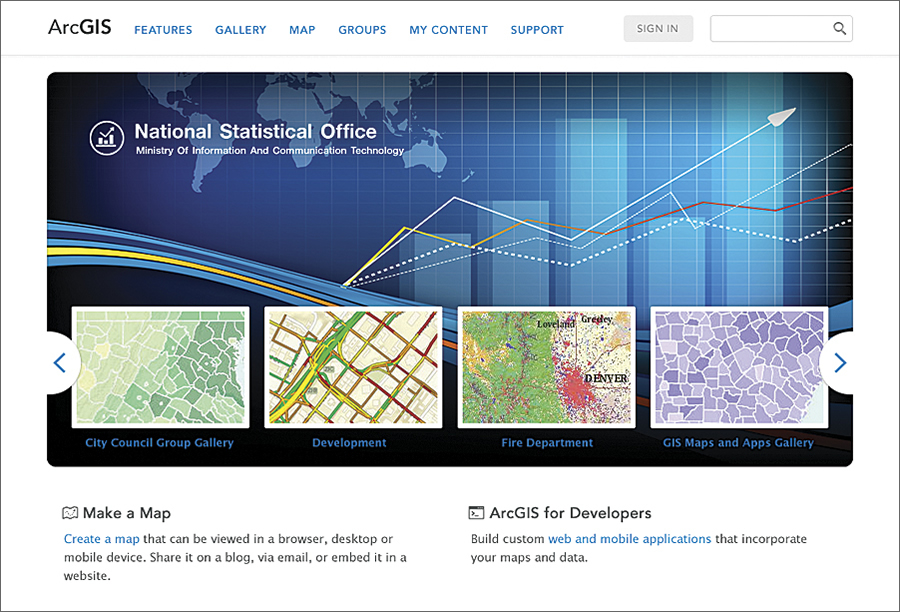
ArcGIS 10.2 Brings Transformational Capabilities to Users

ArcGIS Online Functionality Now Available On Premises

Highlights

  • ArcGIS Online capabilities become part of the on-premises platform.
  • Real-time mapping and GIS keep users synced with the real world.
  • Location analytics equals more accurate business intelligence.
  • New developer opportunities are available on the ArcGIS platform.
Portal for ArcGIS allows users to configure and deploy ArcGIS Online capabilities on premises—enabling organizations to easily integrate GIS everywhere.
It's a great time to be a GIS professional. Dramatic changes are taking place in the enabling computing and communication technologies that GIS relies on, and new software is leveraging these changes to evolve and transform GIS and our user community. Esri is working hard and is in the process of releasing many new capabilities in ArcGIS 10.2, such as real-time data integration, online analysis tools, spatial analysis in the cloud, location analytics, new templates and apps, and web story maps for everyone. There are also new capabilities enabling new opportunities for developers. These advances are giving rise to a change in the very way we position GIS, from a software system designed to unlock the power of geographic information to a comprehensive platform that promises to transform your work; your organization; and, ultimately, our world.

Τρίτη 30 Απριλίου 2013

ΣΥΝΕΧΙΣΗ ΔΙΑΔΙΚΑΣΙΑΣ ΥΠΟΒΟΛΗΣ ΑΝΤΙΡΡΗΣΕΩΝ ΚΑΤΑ ΤΩΝ ΑΝΑΡΤΗΜΕΝΩΝ ΔΑΣΙΚΩΝ ΧΑΡΤΩΝ ΤΗΣ ΤΟΠΙΚΗΣ ΕΝΟΤΗΤΑΣ ΧΟΡΤΙΑΤΗ ΚΑΙ ΤΟΠΙΚΗΣ ΚΟΙΝΟΤΗΤΑΣ ΑΣΒΕΣΤΟΧΩΡΙΟΥ ΤΟΥ ΔΗΜΟΥ ΠΥΛΑΙΑΣ - ΧΟΡΤΙΑΤΗ

Η Διεύθυνση Δασών Θεσσαλονίκης συνεχίζει τη διαδικασία υποβολής αντιρρήσεων κατά των αναρτημένων Δασικών Χαρτών της Τοπικής Ενότητας Χορτιάτη και της Τοπικής Κοινότητας Ασβεστοχωρίου, του Δήμου Πυλαίας - Χορτιάτη, που είχαν ανασταλεί προσωρινά στις 1-2-2013. Με το παρακάτω έγγραφο της (αρ. πρωτ. 35118/30-4-2013) καλεί όλους τους ενδιαφερόμενους στην υποβολή αντιρρήσεων, για τους κατοίκους εσωτερικού 8, 9 και 10 Μαίου 2013, για τους καοίκους εξωτερικού ως 30 Μαίου 2013.