Please join us for this one hour webinar and learn how ENVI can be used to map and analyze impervious surfaces for federal, state, and local government applications. Impervious surfaces, which include roofs, sidewalks, driveways, and parking lots, are directly affected by water runoff quantities. Runoff can lead to changes in flood modeling, vegetation cover, and taxation assessments. Additionally, by mapping these impervious surfaces, changes in urban sprawl and building development can be detected.
Σάββατο 20 Αυγούστου 2011


Σάββατο 6 Αυγούστου 2011
ArcGIS 10.1 Will Offer Cloud Services, Hosted Map Content, and the New ArcGIS Runtime
ArcGIS: The Road Ahead
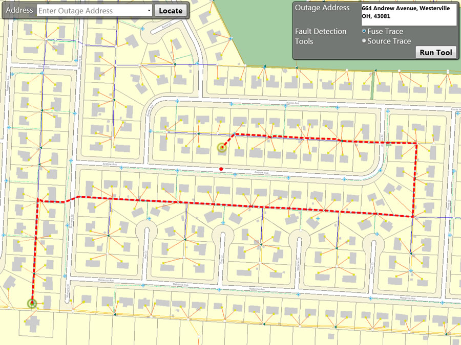
Sharing and collaboration will be the primary focus of ArcGIS 10.1, scheduled for release in early 2012.
This release will make it simpler to put mapping and geospatial analytics into the hands of more people without requiring that they be GIS experts. As an ArcGIS user, you will be able to deliver any GIS resource, such as maps, imagery, geodatabases, and tools, as a web service. The ability to access these services will be built into ArcGIS, as well as any application built with one of the ArcGIS APIs.
Sharing and collaboration will be the primary focus of ArcGIS 10.1, scheduled for release in early 2012.
This release will make it simpler to put mapping and geospatial analytics into the hands of more people without requiring that they be GIS experts. As an ArcGIS user, you will be able to deliver any GIS resource, such as maps, imagery, geodatabases, and tools, as a web service. The ability to access these services will be built into ArcGIS, as well as any application built with one of the ArcGIS APIs.
Τρίτη 2 Αυγούστου 2011
Live Link: Uniting ERDAS IMAGINE & GeoMedia to Enrich Your Workflows (Webinar)
Continual, accurate and timely updates to GIS and CAD databases are critical, enabling decision-makers to access current and relevant information. Accurately-processed raster imagery and terrain data provide a solid reference source for vector and attribute updates.

Σάββατο 30 Ιουλίου 2011
Lidar capabilities available with ArcGIS 10.1
Nathan Shephard introduces the new Lidar capabilities that will be available with ArcGIS 10.1.


Πέμπτη 28 Ιουλίου 2011
Webinar: Getting Data Under Control: Managing & Exploiting Your Imagery & Point Clouds

Do you need to manage LIDAR and raster data, but have concerns about handling massive amounts of image files and LIDAR point cloud data?
During this webinar, you will see how LIDAR data and imagery management combines with analysis tools in an enterprise, dramatically increasing productivity. We will highlight how ERDAS APOLLO enables you to efficiently centralize, manage and deliver volumes of geospatial data to a large audience. In addition, we will showcase advanced LIDAR data exploitation tools within GeoMedia Grid. For more information, watch our latest ERDAS TV Webisode, Getting Data Under Control.
During this webinar, you will see how LIDAR data and imagery management combines with analysis tools in an enterprise, dramatically increasing productivity. We will highlight how ERDAS APOLLO enables you to efficiently centralize, manage and deliver volumes of geospatial data to a large audience. In addition, we will showcase advanced LIDAR data exploitation tools within GeoMedia Grid. For more information, watch our latest ERDAS TV Webisode, Getting Data Under Control.
Εγγραφή σε:
Αναρτήσεις (Atom)