Εμφάνιση αναρτήσεων με ετικέτα SPATIAL DATA. Εμφάνιση όλων των αναρτήσεων

Σάββατο 8 Νοεμβρίου 2014

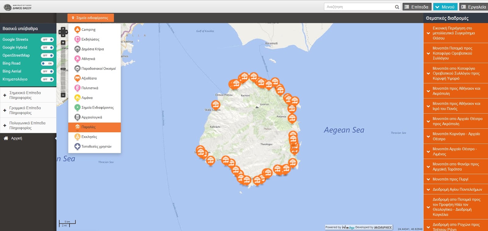
Οδηγός Θάσου (WebGIS of Municipality of Thassos)

Είμαι πραγματικά στην πολύ ευχάριστη θέση να παρουσιάσω ένα έργο όπως ο τουριστικός, και όχι μόνο, Οδηγός της Θάσου. Το έργο πραγματοποιήθηκε από την Infoδημ και τον Δήμο Θάσου στα πλαίσια της Ψηφιακής Σύγκλισης. Είμαι πολύ περήφανος που πήρα μέρος σε αυτό το έργο και ευχαριστώ την Infoδημ που μου έδωσε την ευκαιρία να συμμετάσχω σε ένα τόσο πρωτοπόρο έργο για τον ελλαδικό χώρο.
Πέμπτη 7 Μαρτίου 2013

WEBINAR: How to Efficiently Transform Non-Spatial Data

Wednesday, March 13 at 8am PDT / 11am EDT / 3pm GMT

Overview
Level: Introductory


FME supports a wide range of non-spatial data, from spreadsheets (CSV, Excel) to databases (SQL Server, Oracle) and to key applications (Salesforce, Socrata). In this webinar, discover how to easily transform non-spatial data for use, even adding a spatial component to your non-spatial data. You'll also hear how SYNCADD has been using FME to solve non-spatial challenges in a variety of situations.

While FME is best known for its spatial proficiency, it's also a powerful solution for non-spatial, letting you solve a more complete range of data challenges with one tool.


Δευτέρα 13 Δεκεμβρίου 2010

Webinar: How to Quickly Load Spatial Data into SQL Server

This free webinar demonstrates practical techniques to help you more quickly and efficiently load spatial data into SQL Server. Join us to learn how you can automate spatial data conversion, transformation, and loading processes to gain more value from your SQL Server environment and data assets. We’ll also highlight how you can extract and distribute SQL Server spatial data within your web mapping applications.